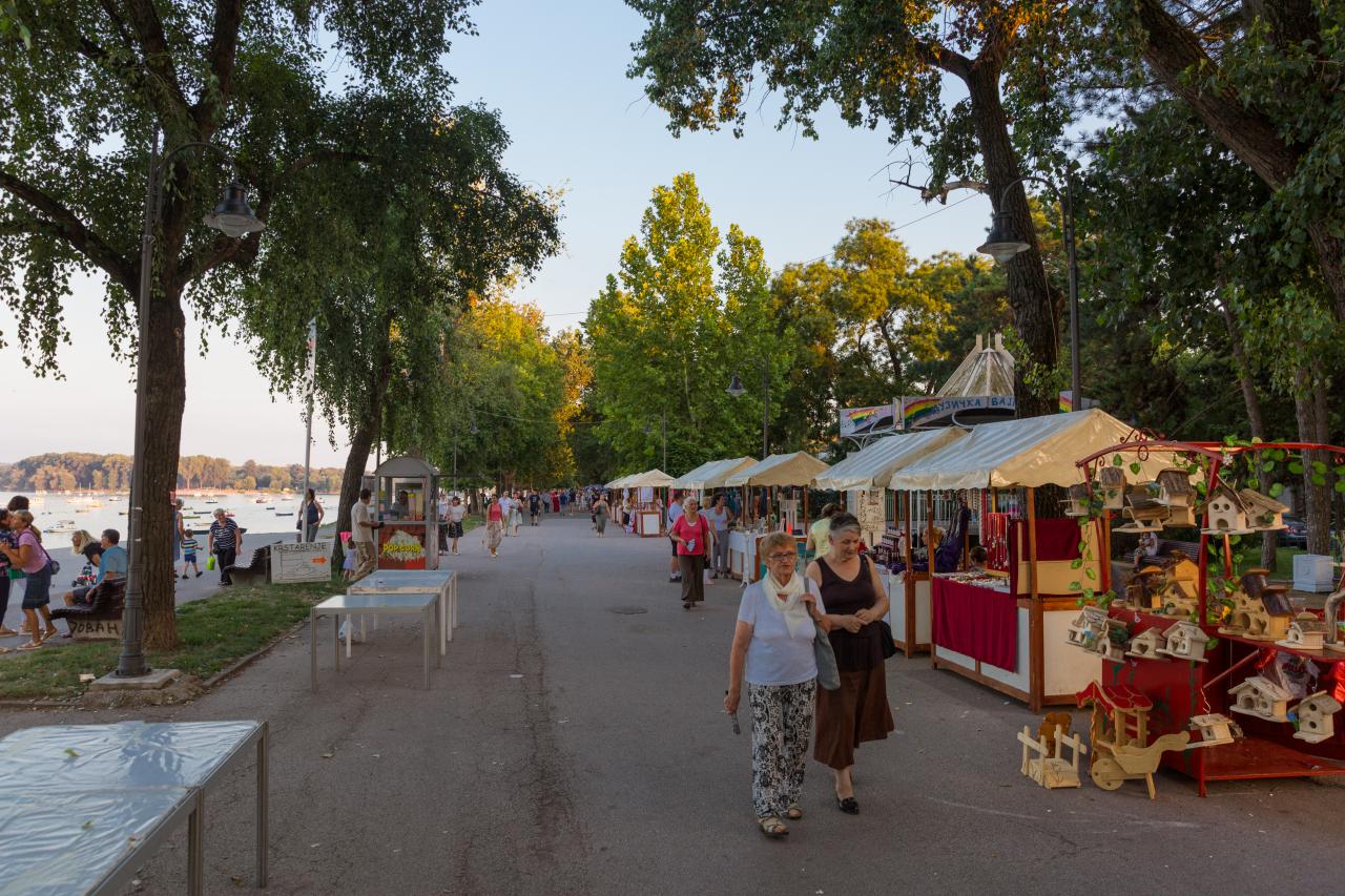
Zemunski kej
Modern area of Zemun's Donji Grad was regularly flooded by the Danube. After massive 1876 floods, local authorities began the construction of the stony levee along the Danube's bank. Levee, a kilometer long, was finished in 1889.When hydroelectrical plant Đerdap I began to fill its reservoir in the late 1960s, due to the backwater of the Danube, underground waters in Zemun and New Belegrade got elevated and the cellars of the buildings got flooded. To prevent this, the high embankment with the promenade was built in 1967 so the Danube rarely flooded the quay (most notably in 1981).
Zemunski kej se nalazi na desnoj obali Dunava. Šetalište koje nosi zvanični naziv Kej Oslobođenja počinje ispod brda i naselja Gardoš i doseže do opštine Novi Beograd. Na istoku se graniči sa naseljima Donji Grad i Retenzija, dok se na jugu graniči sa Ušćem i Novim Beogradom.
see location here : link